Underground networks are a direct consequence of urbanization. These networks are daily used to offer all the vital services : electricity, Internet, water, etc. However, the available data related to them in particular sanitation ones are various, and come in different types (texts, images, GIS etc.) and formats (analog, digital). In addition, these multisource/multi-format data are usually incomplete, uncertain and sometimes contradictory, which makes their management complex, expensive and tedious. There are many reasons why data management of underground networks is essential : reducing the cost of reparation and expansion, running hydraulic simulations, preservation of the environment, etc. In France, over the last decade, there has been a lot of legislative efforts to address these issues. The reform of 2012 « DT-DICT » is a concrete example, which require from the companies and public services the use of accurate and precise maps. To contribute technically to these efforts, Berger-Levrault in collaboration with specialists from the university of Montpellier and the university Sidi Mohammed Ben Abdellah in Morrocco, aim to use Artificial Intelligence techniques to achieve the following :
- Collecting accurate data from different data sources.
- Build precises and completes underground maps using data fusion techniques.
Among the tasks that has been accomplished since the beginning of this project :
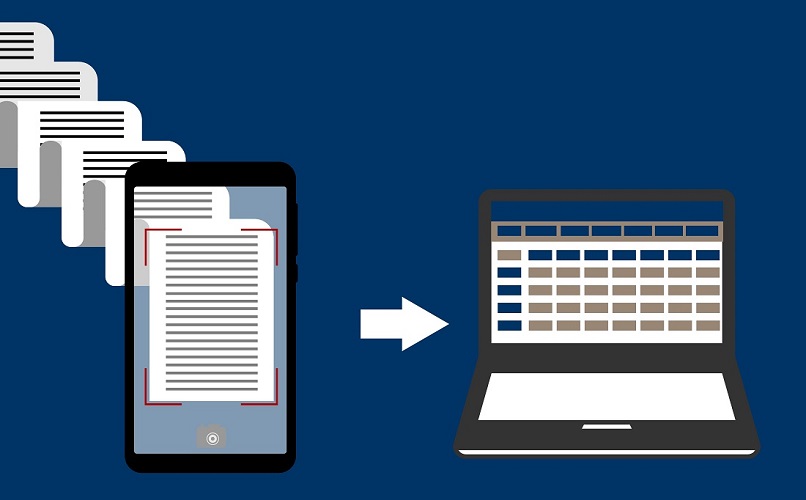
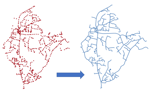
- Applying Convolutional Neural Networks to Google Street View images to detect Manholes positions (figure 1). The figure 2, show a comparison between real manholes positions (below) and our results (above).


Predict the connection between Manholes